At this link, read a 2007 article about the sculpture and its sound-producing aspect.
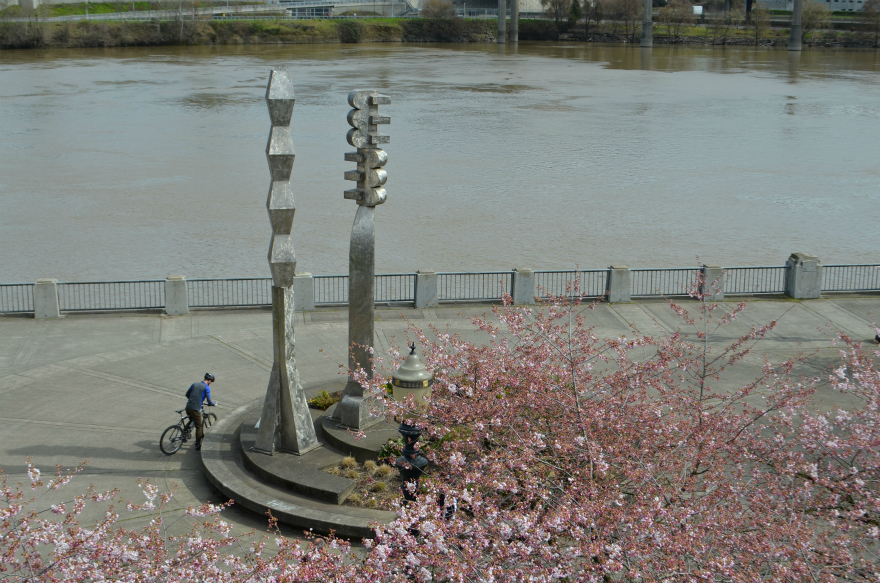 A view from above, focusing on the public art known as Friendship Circle. Image altered at PicMonkey.
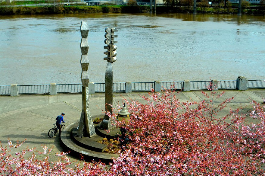 The same view--this time the image is altered at Ipiccy and includes some color manipulation. Makes me think of a 1960s postcard.
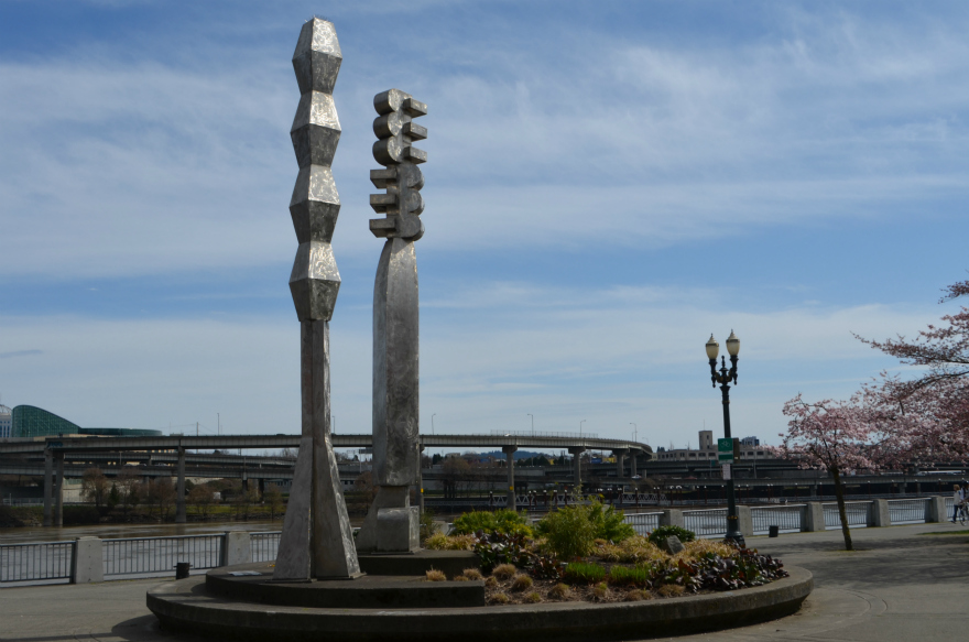 A view from river level. Image altered at PicMonkey.
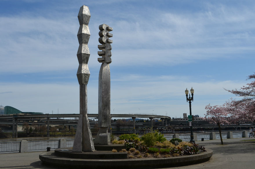 The same view--this time the image is altered at Ipiccy.
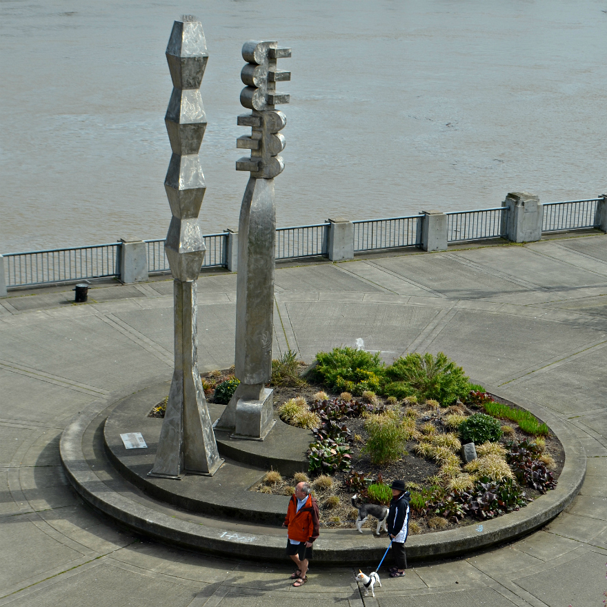 Folks and their pets, out enjoying the sunshine. Image altered at PicMonkey.
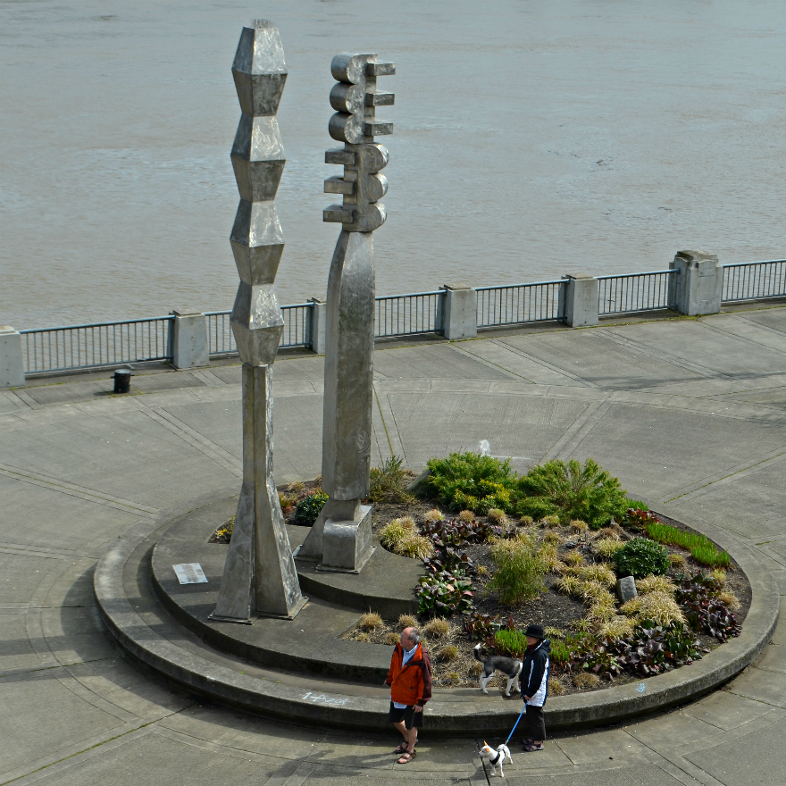 The same view--this time the image is altered at Ipiccy.
Found at the Regional Arts & Culture Council Web site:
Artists: Lee Kelly, American, born 1932 Michael Stirling
Title: Friendship Circle Date: 1990
Medium: Stainless steel and digital audio
Discipline: sculpture
Dimensions: 1: 22’ x 8’ 2: 24' x 9' audio duration: 35 minutes
Funding Source: Percent for Art-City of Portland, Portland Development Commission, and the City of Sapporo, Japan
Location: Waterfront Park, Parks and Recreation, NW Naito Pkwy. and NW Everett St.
“Friendship Circle” was a collaboration between sculptor Lee Kelly and composer Michael Stirling. Stirling composed a score based upon traditional and contemporary Japanese instruments to emanate from one of the columns sculpted by Kelly. The sculpture commemorates 30 years of the Sister City relationship between Sapporo, Japan and Portland and was primarily funded by Sapporo as a token of friendship. The sculpture subtly echoes the architecture of Buddhist temples.
Found at Portland Parks & Recreation, online:
Historical Information about Tom McCall Waterfront Park. The idea for this park came at the turn of the century when the 1903 Olmsted Report pointed out the need not only for parks within the city, but for a greenway scheme for the riverbanks in order to ensure their preservation for future generations. The 1912 Bennett Plan again showed a need for more parks and river greenways, but instead of reorienting itself to the river, the city's focus was pulled further inland. In the late 1920s, the seawall was built along the Willamette's west bank for the protection of downtown from the annual floods. The seawall not only cut off the water from the people, but the people from the water as well. The construction of Harbor Drive along the west bank in the 1940s continued the trend of isolating the public from the river.
With the opening of the Eastbank Freeway (Marquam Bridge, I-5), Harbor Drive became less important to the traffic flow of the city. Governor Tom McCall created the Harbor Drive Task Force in 1968 in order to study proposals for creating a public open space in its place. In 1974, Harbor Drive was torn up and construction of a waterfront park began. It was completed and dedicated in 1978, gaining instant popularity. In 1984, the park was renamed Governor Tom McCall Waterfront Park.
1 comment:
What a pretty place and very nice images. Very, very nice.
Post a Comment