Showing posts with label Multnomah Falls. Show all posts

Thursday, September 29, 2011

Thursday, August 25, Part 1 of this day's fun!

DSC_0165p
On the phone--during one of our numerous phone calls discussing important things like "Are you gettin' ready for us, Lah-neigh-yet?" and "What are we gonna do all those dayzzzz?"--Milton told me the one thing he wanted to be sure to do, visit Multnomah Falls like they had done with Mama and me back in May, 2007, on their first visit. "I want to video it 'cause Mama loved it so."

Here's how we got it done.

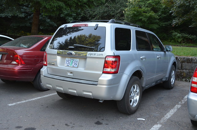
Lamont picked us up and drove us to the Zipcar which does not live within walking distance of my apartment. Bus distance, yes, but that sweet son of mine offered to give us a ride over there, and we jumped at the chance! The Ford Escape waited patiently on the corner of SE Division and SE Caesar Chavez/39th Avenue in a service station parking lot. We put the cooler in the back and drove over to Fred Meyer for supplemental supplies: our bottles of water and pop, some cookies, some chips, and a loaf of buttermilk bread. Then we headed east toward our first stop.
DSC_0152p_770
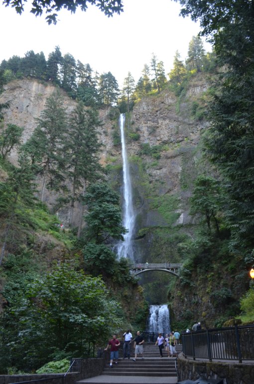
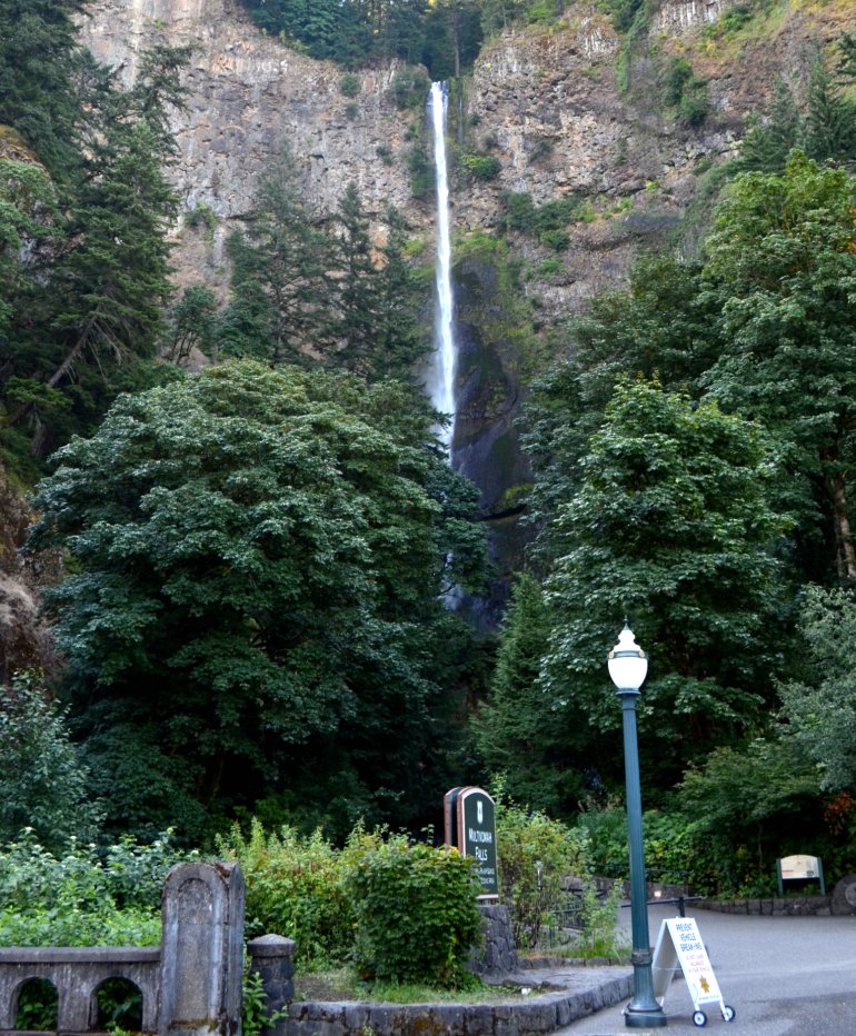
I love this natural wonder even if it's difficult to get all of it in one photo. I read online that the upper falls of 542 feet and the lower falls of 69 feet have a gradual nine foot drop in elevation between the two of them which adds up to a total height of 620 feet. Not sure I totally understand that bit about the gradual nine foot drop in elevation, and since I won't be walking up to the bridge any time soon and looking into the pool at the bottom of the upper falls, I may never understand it. And I hadn't read those facts prior to Milton's going up on the bridge, so I didn't know to ask him to check it out for me.

DSC_0151
I had no trouble understanding the sign on the left.
DSC_0153p
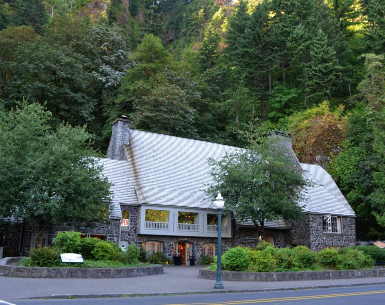
A. E. Doyle, one of my favorite Portland architects, designed the 1925 Multnomah Falls Lodge, which is now on the National Register of Historic Places. A bit about the lodge that I found on the Internet: The Multnomah Falls Lodge is located at Multnomah Falls, Oregon, at Columbia River Mile (RM) 136. It was built in 1925 as an overnight rest area on the Historic Columbia River Highway. Originally the lodge had dormitories and four rooms for the overnight stays.

Then I found this up-to-date information on the building's Web site: Thank you for your interest in an overnite stay at the Lodge. Unfortunately, the building was origionally construsted as a day lodge only, and does not offer overnight accommodations.

Available for public viewing, the Lodge houses a U.S. Forest Service interpretive center, an exceptional gift shop, , snack bar, espresso cart and public restrooms on the plaza level. The second floor accessed by Stair or elevator is home to the restaurant lobby and dining rooms, spectacular patio dining in suitable weather, cozy lounge and bar area.

Ah, the joy of the Internet, where anyone can post anything. I'm pretty sure we ought to trust the building's own Web site as factual.
DSC_0164p
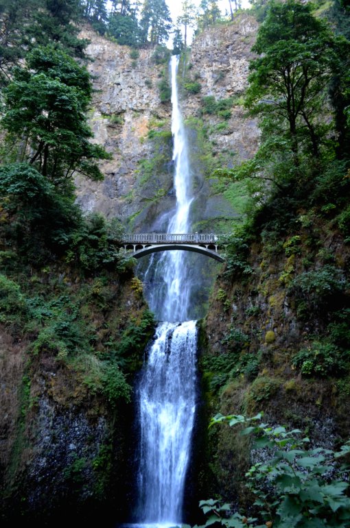
I managed to get it all in one photo! Amazing accomplishment, and I didn't have to stand on my head. My camera has one of those viewer thingeys that rotates so that you can hold your camera in out-of-the-ordinary places, so I wrapped the strap tightly around my wrist and held the camera outside the railing, with the viewer thingey tilted so that I could see what the camera saw. Neat!
DSC_0166p770
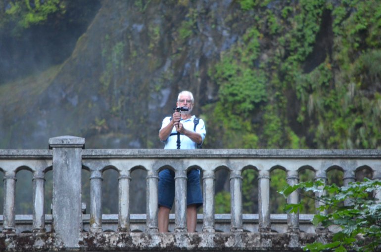
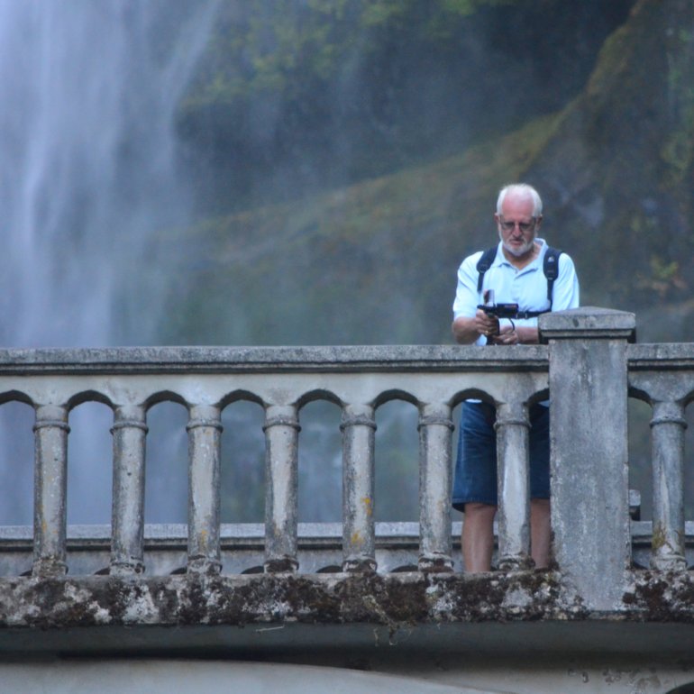
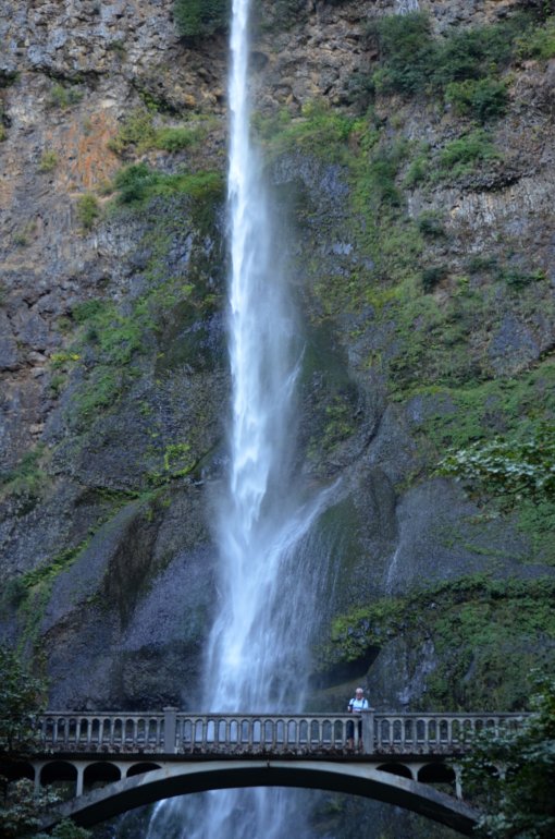
Milton on the bridge, wide shot.

DSC_0168p
Milton on the bridge, close shot.

DSC_0184
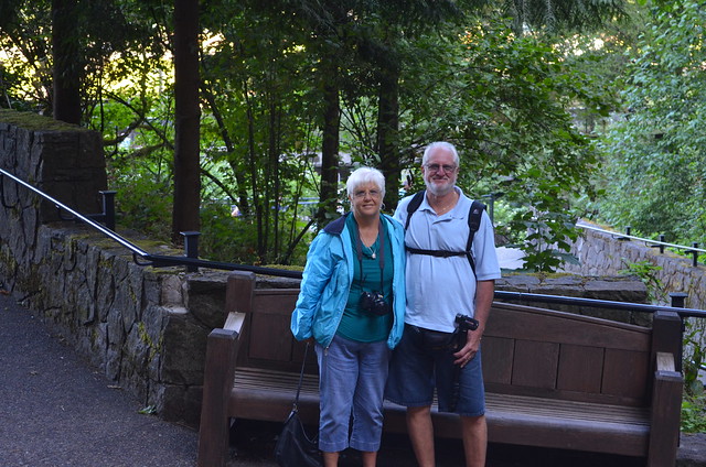
The best buds, ever!

DSC_0185p
One last look, for Mama.

DSC_0189
Then we headed for the SUV.
Sunday, November 09, 2008

ELLEA, Monday, November 3, 2008, sightseeing with Lamont in his new-to-him Volvo stationwagon

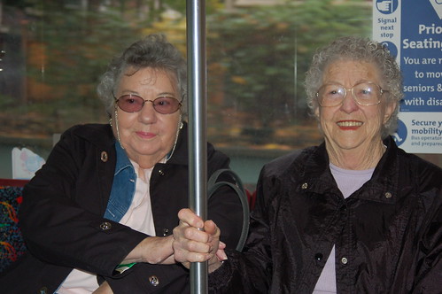
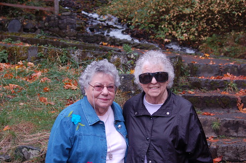
Our plans for Monday included eating brunch at Bijou Cafe, joined by Lamont who would meet us there. We rode the #17 bus. Don't Lucy and Edna (Mama) look like veteran mass-transit-users?
DSC_0143
We got our first look at the new bicycle parking spaces in front of the Bijou.
DSC_0144
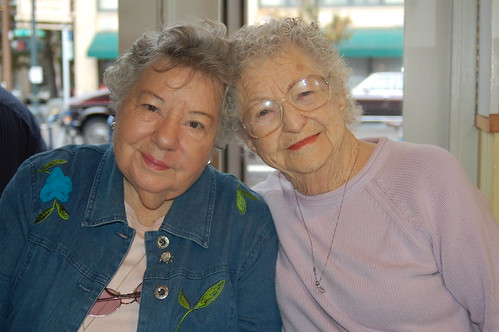
I love this photo of them, at our table at the Bijou.
DSC_0146
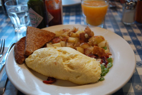
Knowing how delicious it is, I got the goat cheddar cheese, bacon, and green onion omelet. It comes with potatoes and toast--but I gave the toast to Lamont and got a buttermilk pancake on the side. Plus I had a glass of fresh-squeezed orange juice, truly the nectar of the gods. Mama and Lucy split a short order of pancakes and a side of bacon. I cannot remember what Lamont got, but I do remember that he cleaned his plate.
DSC_0148

After devouring our scrumptious food, we walked a block to Lamont's car so that he could serve as our transportation and tour guide for the day. Our plan was to head for the Columbia River Gorge, east of Portland, with as many stops as possible where sights could be seen from the car. Typical rainy weather plus the physical stamina of Lucy and Mama set the parameters for us. As you'll see, though, they got out of the car a few times and kindly posed for photos.

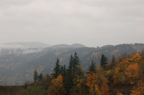
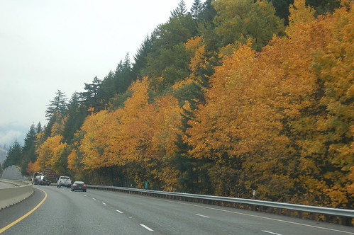
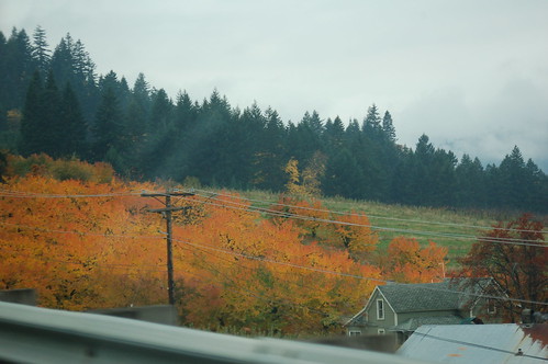
The entire drive to our first stop, the Vista House, brought us one glorious autumn sight after another. I couldn't get any shots, though, because we were going too fast on the interstate. Here are several shots I took once I got out of the car at the Vista House, standing upright despite the strong, buffeting winds.
This photo faces east and a bit south, I think.
DSC_0150
There in the mist you can get a glimpse of the Columbia River--to the far left is Washington state. The gray streak bordered by autumn-colored trees is I-84.
lv_columbia_fr_vistaH_enhanced
I got a bit of the Vista House in this photo, as well as the roadway that Lamont drove on to get us up to the 733-foot summit known as Crown Point. This was the third visit for Mama and me, but it was our first time to come from that direction. I found it much less scary to approach that height on the Historic Columbia River Highway. That's the way we came, once we had exited I-84 at Troutdale, Oregon. The white specks in the trees are actually fence posts along the shoulder of the highway. For those of you who are history/info buffs, the two links make for rewarding clicks.
DSC_0158
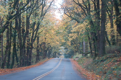
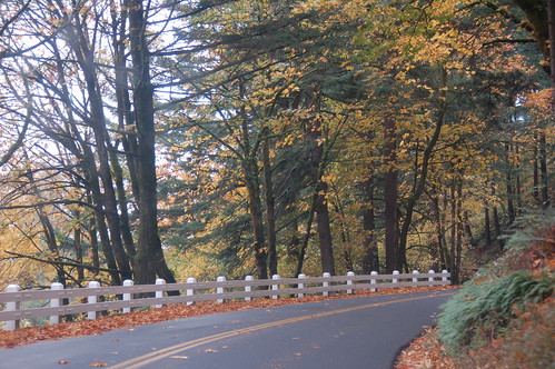
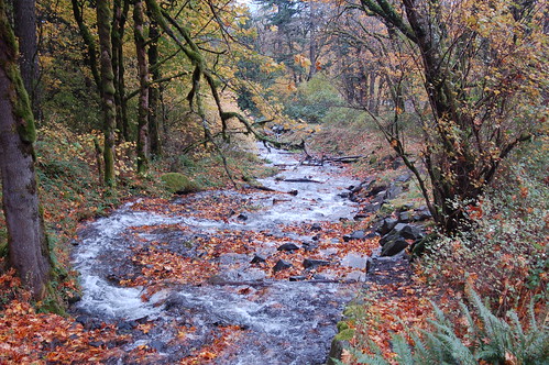
It didn't take us long to realize we'd be much better off inside the warm, dry car, so we continued on the Historic Columbia River Highway to our next stop, Wahkeena Falls. Here are a few photos of the scenes we saw.
DSC_0160
I took these photos through the windshield, as Lamont continued to drive.
DSC_0163
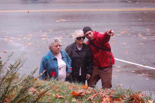
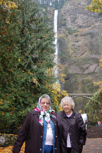
Lucy and Edna (Mama) stand on the sidewalk beside Wahkeena Falls. Mama took one look at this photo and said, "That wind at Vista House blew my hair inside out!"
DSC_0167
Lamont points to the top of the falls, just visible through the trees that have lost lots of their leaves.
DSC_0171
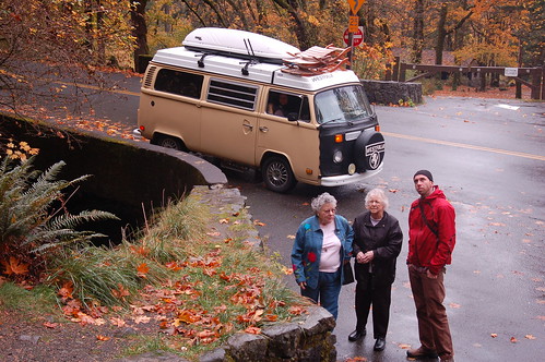
Here's the first VW bus of the day--we ended up seeing seven or eight, I can't remember for sure.
DSC_0174
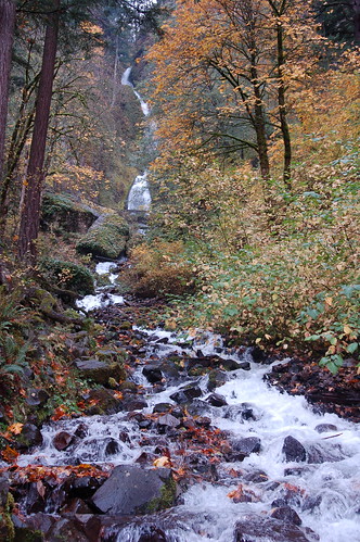
I had to squat down to get this photo, and I still couldn't get the entire falls and its creek-like-self in the same photo.
DSC_0180
Here's the part that's closest to the sidewalk.
DSC_0179
The sound was wonderful!
DSC_0169
I like this close-up of water pouring over one of the rocks.
DSC_0178
Across the road, the water continues to rush.
DSC_0185
Half a mile from Wahkeena Falls, we stopped at Multnomah Falls.
DSC_0001
Mama took her glasses off to keep them dry--the sprinkling rain continued to fall.
DSC_0003
More beautiful scenery followed, as we drove towards I-84 and the Bonneville Dam, our next planned stop.
DSC_0012
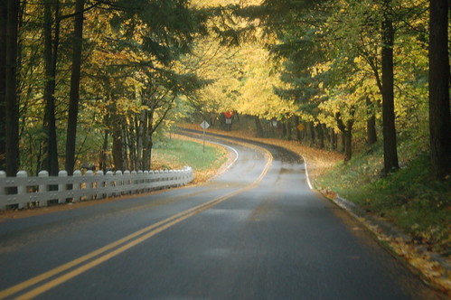
What an astounding road to travel this must have been for folks in Model Ts!
DSC_18
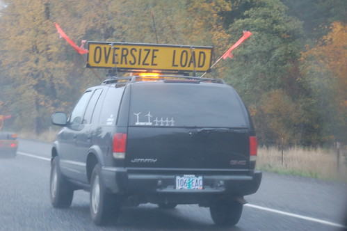
Once we got back onto I-84, we passed a follow car. The decals in the back window, lower left corner, provided a good clue as to what the oversize load was, just ahead on a flatbed truck.
DSC_0020
I think it's part of a wind turbine base, no doubt.
DSC_0021
Once we got to the Bonneville Lock and Dam, we stopped for a few photos. Aren't these trees gorgeous?
DSC_0025
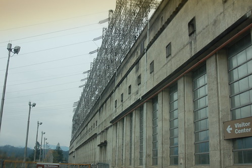
Here's the powerhouse, on the Oregon side of the dam and the river.
DSC_0031
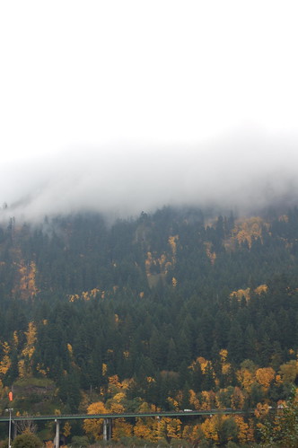
I-84 is elevated, with the beautiful trees behind it and the low clouds overhead. Come to think of it, I don't know the height of those mountains, so I don't really know if it's correct to call those low clouds or if they're mists of fog, or what. Pretty neat looking, though.
DSC_0033
Here's the spillway, on the northern side of the river, the Washington side.
DSC_0059
When I got out of the car to take the previous few photos, I saw an odd-shaped structure and a narrow rose garden. Naturally, I had to go for a closer look. Here's the odd-shaped structure.
DSC_0047
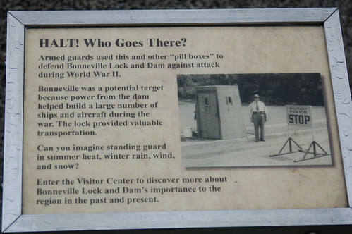
And here's some posted info about it.
DSC_0045
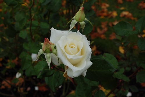
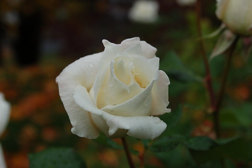
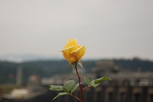
Only two rose bushes still had pretty blooms on them, first the creamy white Garden Party and then the soft yellow Summer Sunshine.
DSC_0048
DSC_0050
DSC_0063
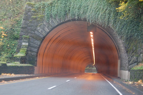
We continued east on I-84, towards Hood River, Oregon, where we planned to go south on 35, eventually connecting to 26 so that we could go west, back towards Portland and home. I like this shot of a short tunnel we encountered.
DSC_0071
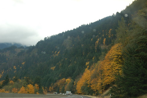
Another pretty vista.
DSC_0074
And another one.
DSC_0078
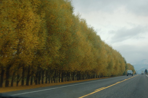
The last time I saw this row of trees on Highway 35 was last October, when Mama, Marsha and I made the Hood River Fruit Loop Tour. I was driving then and couldn't get a photo.
DSC_0083
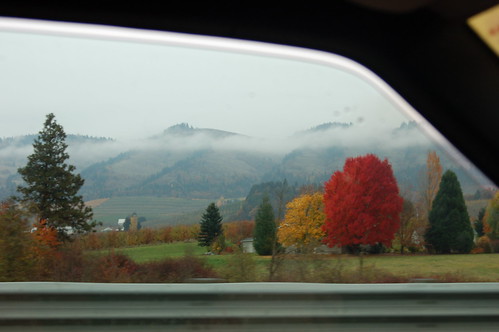
We three women were awestruck at the brilliant red tree on the east side of the highway. I took this photo out Lamont's driver-side window, and I'm pleased with how it came out.
DSC_0084
Wish I knew what sort of orchard this is.
DSC_0087
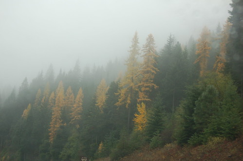
I don't know what's made so many evergreens turn this yellow. But I doubt that it's good.
DSC_0092
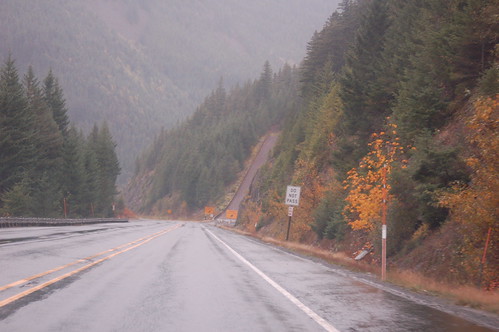
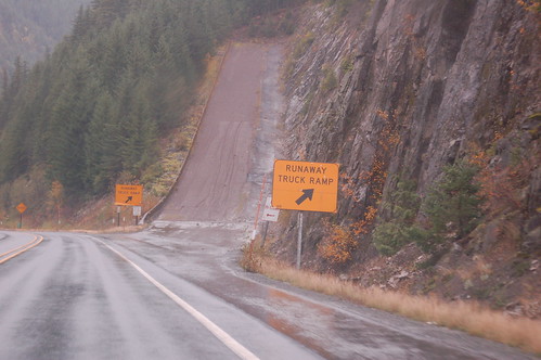
Here you have two photos of a Runaway Truck Ramp, quite a scary sight!
DSC_0096
DSC_0097
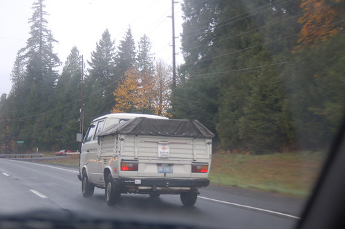
Here's another one of the VW buses that we saw on Monday. We're on Highway 26 now, not too far from home. Lamont got us there safe and sound, in plenty of time to rest up for "Dancing With the Stars." Love that paso doble team dance!
DSC_0099