
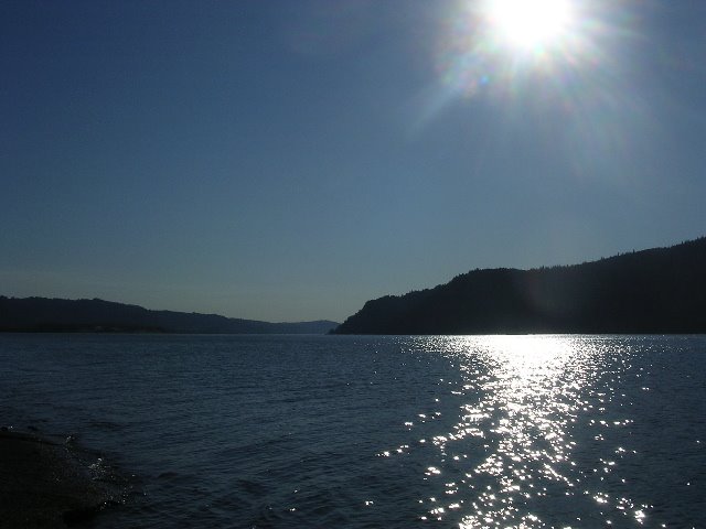

Doggone it! I cannot keep it straight in my mind how to put these pictures in the proper sequence. You'll have to rewind in your mind because the top picture is actually the last picture I took on Sun., Aug. 13, as we drove back into Portland after a short trip to The Gorge, as in the Columbia River Gorge.
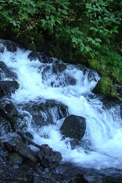
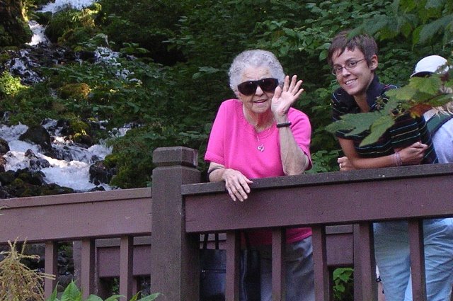
Since Casey had already seen the Pacific Ocean, which is a longer drive, and she'd been up late the night before at her second-night-in-a-row Sleater Kinney concert, we opted for the shorter drive. Our first stop was Wahkeena Falls, a 242-ft. waterfall we lucked up on because I was trying to drive the scenic highway. By the time we stopped, I had to put on my motion sickness bracelets before I could manage to walk and take photos. I'm going to have a time learning to drive with these heights, curves, drop-offs, and truth be told, the ones we were in were just weenie ones.
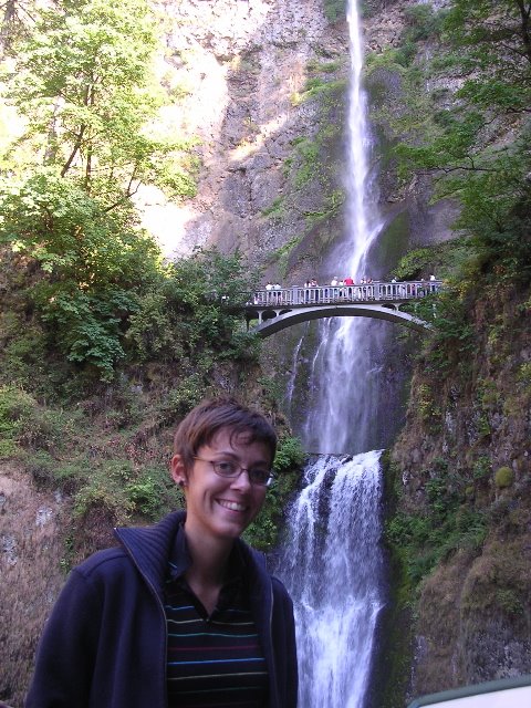
So, we've Mama and Casey on the bridge, looking good, and beautiful, foamy, white water from Wahkeenah Falls.
Next stop, Multnomah Falls. To fully appreciate it, you need this Wikipedia info: Multnomah Falls is a waterfall on the Oregon side of the Columbia River Gorge, located east of Troutdale, between Corbett and Dodson, along the Columbia River Highway. The falls drops in two major steps, split into an upper falls of 542 feet and a lower falls of 69 feet, with a gradual 9 foot drop in elevation between the two, so the total height of the waterfall is conventionally given as 620 feet.
A foot trail leads to Benson Footbridge, a 45-foot-long footbridge that allows visitors to cross 105 feet above the lower cascade. The trail continues to a platform at the top of the upper falls, the Larch Mountain Lookout, where visitors get a bird's-eye view of the Columbia Gorge and also of "Little Multnomah", a small cascade slightly upstream from the "upper" falls, which is not visible from ground level. The footbridge is named after Simon Benson, who had the bridge built in 1914.
In contrast to other falls along the Gorge, the Multnomah area is also reachable via a stretch of I-84 east of Troutdale, Oregon. The rest area and tunnel under the road (as well as the Union Pacific Railroad tracks) allow Interstate travelers from either direction to stop and visit the falls.
So, we stopped along with a whole bunch of other folks, to take a look at this amazing sight. I'm sure you guessed already that we didn't hike to the top or even to the footbridge. There's no way I could do it, even with my motion sickness bracelets.
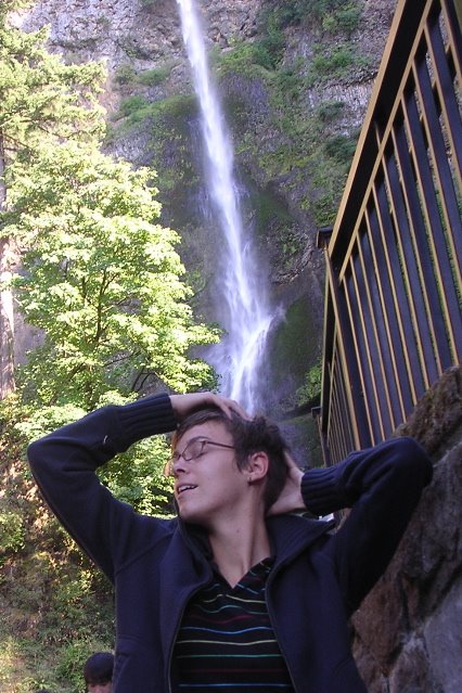
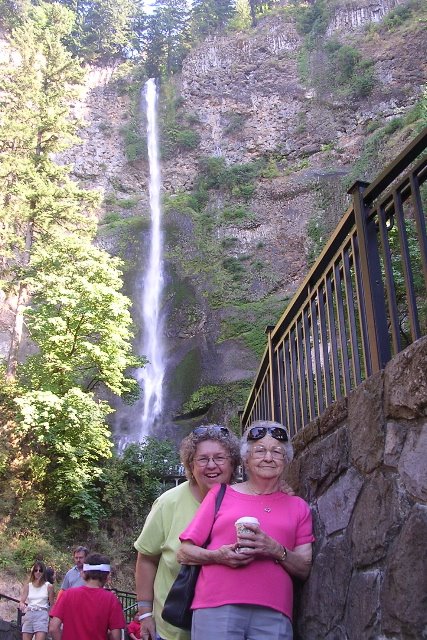
Behind Mama and me, you can see the upper falls behind us, only because Casey laid back on the sidewalk to take the picture. It's just too steep to get it all in otherwise. The next shot is actually the second one I took of Casey standing in the same place. When I checked the first one, we got tickled when we saw the illusion of the water pouring right onto her head, so she set this one up for the effect. Turned out great, didn't it? She won't have to wash her hair again in 2006, if water volume is any gauge. Once we walked up onto the observation platform at the pool where the lower falls land, Casey took one of me, with the lower falls in the background, and I took one of her. I'm glad I got a shot of the Benson Footbridge behind her, aren't you?
Just in case I haven't given you way too much information already, here's some more. Some day, I'll ride more of those 80 miles into The Gorge and get some shots of canyon walls. When Leland and I drove through it in the UHaul, I really couldn't believe what I was seeing or where we were in relation to it.
From Wikipedia: The Columbia River Gorge is a spectacular canyon of the Columbia River in the Pacific Northwest of the United States. Up to 4,000 feet (1300 m) deep, the canyon stretches for over 80 miles (130 km) as the river winds westward through the Cascade Range forming the boundary between the State of Washington to the north and Oregon to the south. The Columbia Gorge American Viticultural Area is located in both states. Extending roughly from the confluence of the Columbia with the Deschutes River down to eastern reaches of the Portland metropolitan area, the gorge furnishes the only navigable route through the Cascades. In 1805, the route was used by the Lewis and Clark expedition to reach the Pacific Ocean. The gorge today holds federally protected status as a National Scenic Area (United States) and is a popular recreational destination.
1 comment:
Lynette-I've actually been to those falls and have pictures standing in the same places! Did you hear the story about the dead body they found in those falls?
I loved Portland when I went. So pretty.
Post a Comment